Paper Trails and Paving Stones: A Neighbour-Led History Stroll for 2026
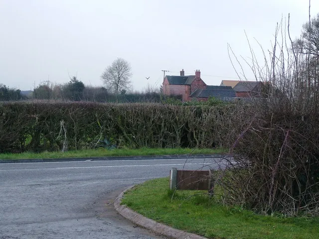
Photo: cris sloan, CC BY-SA 2.0, via Wikimedia Commons
Every street has a paper trail. It might be a boundary stone half-hidden by a wheelie bin, a pub name that makes no sense until you see the old field map, or a neighbour who remembers when the corner shop sold paraffin. A street history walk is simply a way of joining those dots — not as a lecture, but as a short, sociable amble with a few good stories attached.
The best version is neighbour-led, low-cost and refreshingly unstuffy. You do not need an academic historian, a megaphone or a budget. You need a library card, a notebook, a handful of curious people and a route that does not ask anyone to scramble over a stile.
Start with what you can already see
Before you open a single archive box, walk your street slowly and look at the fabric of the place. Old kerbstones, faded ghost signs, gateposts that no longer hold a gate, chapels turned into flats, a school wall with a date stone, an oak that is far too big for its front garden. Photograph them. Note the house numbers. These are your first clues, and they give the research a shape.
It also helps to decide what kind of walk you want. A 45-minute loop with five stops is usually better than a two-hour marathon with 18. People can always ask questions afterwards over a cup of tea.
The library is your first stop, and it is already paid for
Your local library is the quiet engine room of this whole idea. Most have a local studies section or can point you to the council archive. Ask at the desk for old Ordnance Survey maps, trade directories, census returns and local newspaper indexes. In many areas, library computers also give free access to genealogy sites that would otherwise cost a subscription.
You do not need to become an expert. Take clear notes, copy the reference numbers, and ask staff what they would check first. If the library runs a local history group, go along once. You will often find someone who has already done half the digging and is delighted to be asked.
Maps, censuses and a decent pair of glasses
Old maps are the most generous source, because they show you what has vanished: back-to-backs, orchards, a smithy, a school that is now a car park. Compare a late Victorian map with a 1950s one and the street will start to tell you what changed and roughly when.
Census returns add people. The 1921 census is the most recent one generally available, and earlier returns from 1841 onwards can give you occupations, household sizes and birthplaces. Trade directories are useful for shopkeepers and pubs, while local newspaper archives are gold for small dramas: a flood, a royal celebration, a dispute about a lamp post. Treat it all as evidence, not gospel. Say ‘it seems’ and ‘the map suggests’ rather than pretending you have solved the street’s entire past.
Ask the neighbours, but bring biscuits rather than a clipboard
Some of the best material is still living on the street. Long-standing residents, the person who has run the corner shop for decades, the chair of the allotment society — they can tell you where children played, which wall used to be a pigsty, and why everyone still calls the cul-de-sac ‘the prefabs’.
Keep it informal. Ask open questions: What was here before? Where did people meet? What has changed most? Ask permission before quoting anyone, and do not put personal details into a public handout. A short conversation on a doorstep is fine; a full oral history interview needs a bit more care and consent. The local library or community hub may be able to lend a simple recorder if you want to keep the memories properly.
Design a route of five or six stops
A good history walk has a beginning, a middle and a place to sit down. Start and finish somewhere useful — the library, a community hall, a café, a bench under a tree. Keep the route on public paths and pavements, check crossing points, and think about wheelchairs, buggies and anyone who walks slowly. A wet-weather plan is sensible too: a shorter loop, or a version that begins indoors.
Walk it yourself first with a friend. Time it. Check whether the pavement is wide enough for a group to stop without blocking the way. If you want to go inside a church, hall or private building, ask permission well ahead. Otherwise, stay in public space and respect the people who live at each stop — no peering through windows, no standing in driveways.
A simple research checklist
- Get or renew a library card, and ask about local studies access.
- Look at old Ordnance Survey maps, tithe maps and enclosure maps.
- Check census returns and trade directories for names and trades.
- Search local newspaper archives for dates and small stories.
- Collect old photographs and postcards from neighbours, with permission.
- Record two or three memories from long-standing residents.
- Recce the route for access, crossings, seating and noise.
- Ask permission for any indoor or private-land stop.
- Print a one-page handout with a simple map and a few references.
- Keep a shared folder of notes so the research does not vanish.
On the day, keep it light
Meet at a clear time and place. Keep the group small enough to hear. At each stop, read a short quote or show a single old photo, then let people look around and add their own memories. If you are not sure about a fact, say so. The charm of a neighbour-led walk is that it is curious rather than authoritative.
And if someone stops to ask what you are doing, tell them. Invite them along. That is how a street history walk turns from a one-off into a small community habit.
Afterwards, give the research back
Leave a copy of your notes and handout with the library or community hub. Offer a short write-up to the local newsletter or noticeboard. If it worked, repeat it in another season — the walk will feel different in winter light or under summer leaves. The road beneath your feet is not just tarmac. It is a layer cake of maps, memories and people who have been meaning to ask about that strange old wall for years. A gentle stroll in 2026 is a very good way to start.